
Delivery Company Maps
We provide a range of customised mapping solutions to Fast Food & Delivery companies.
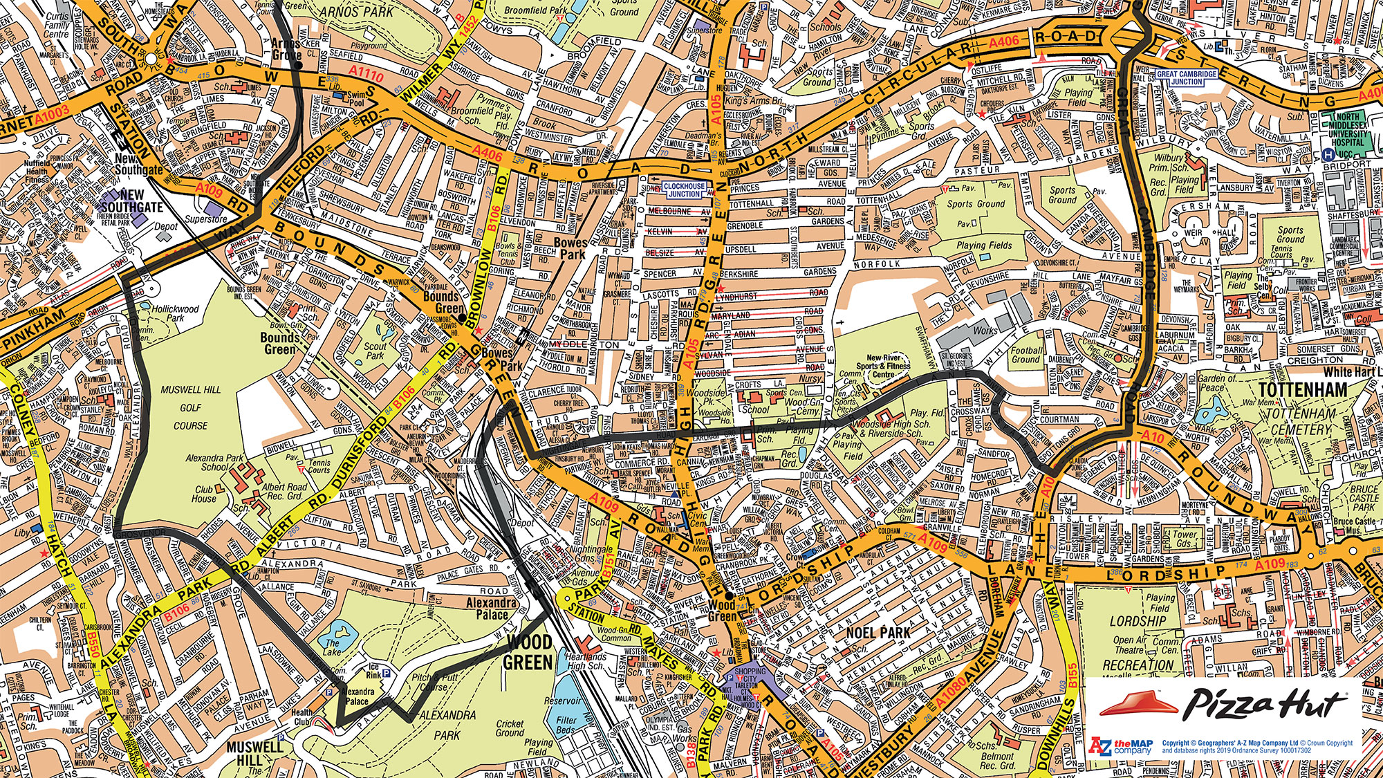
We have created maps for thousands of happy clients including Domino’s and Pizza Hut, alongside many smaller independent shops and companies. Most of the time, these have been used to aid central or store planning, or to allocate delivery bands to specific areas.
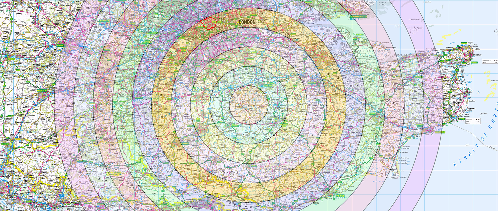
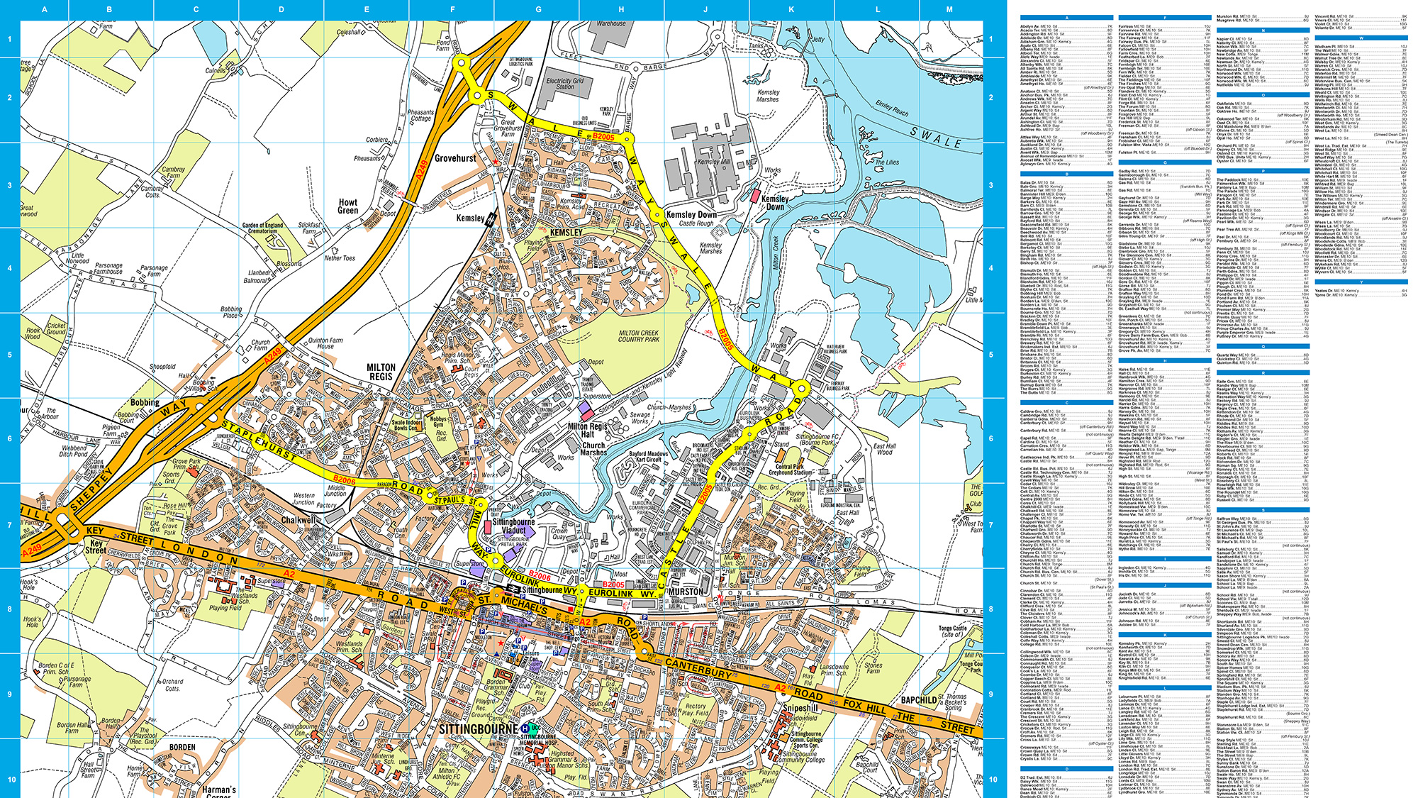
Fast Food outlets will typically operate within a 3-5 mile radius of their postcode. A-Z Street mapping is therefore perfect to use to cover this size of area and we can supply an index of streets to accompany the map.
If your company covers a larger area we can use smaller scale mapping to accommodate this.
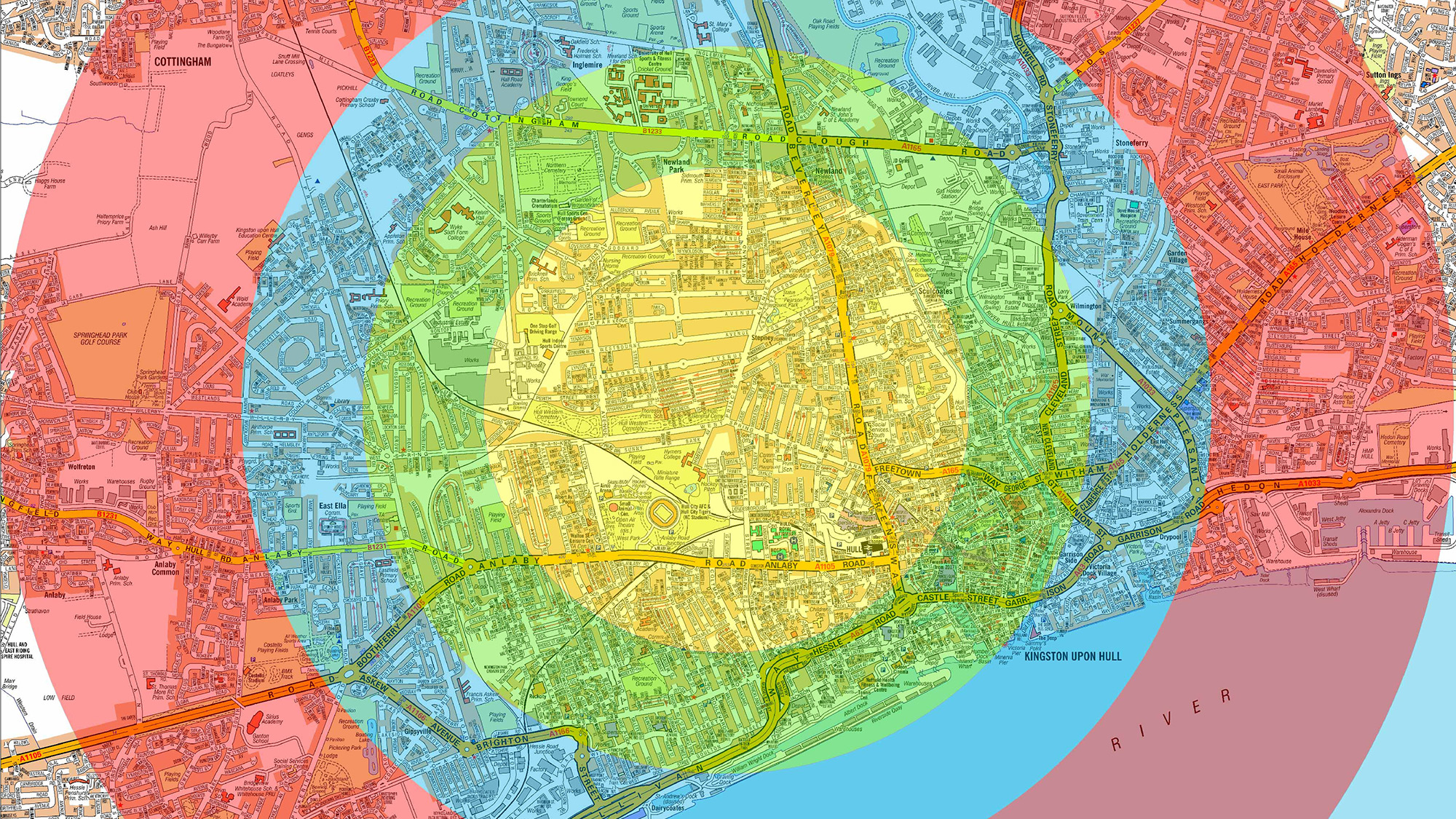
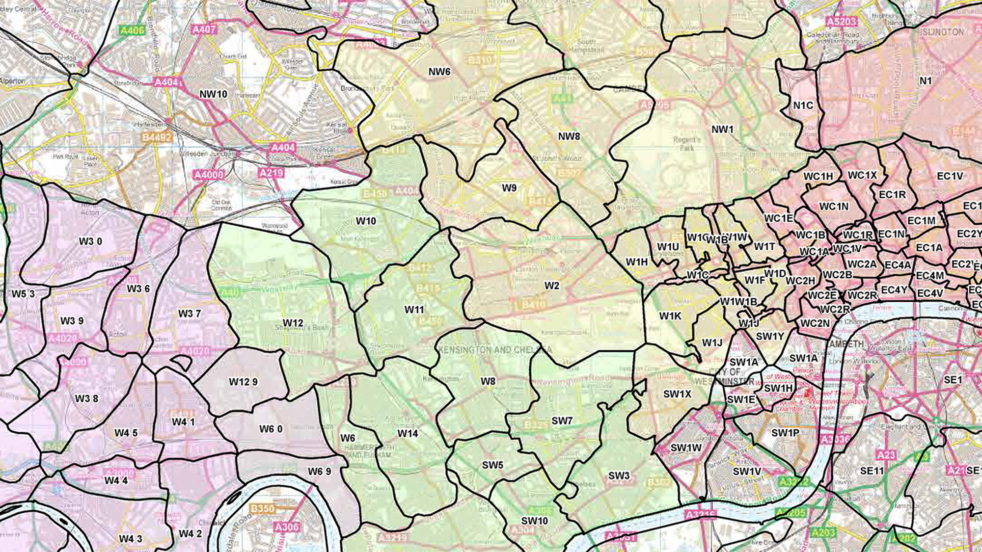
You can mark out your delivery area using a Radial Circle at a specified distance from your postcode, or perhaps add a territory boundary to the map which is made up from clusters of Postcode Sectors or Postcode Districts.
You can add your location as a logo marker on the map.
If you have a large number of stores or hub points then we can add multiple locations to a map, colour code them and reference them to a key.
I am really pleased with the maps, Many thanks
Thanks Neill for the new AZ map and index. Super quick and easy!
What to Consider
We are here to help and can cater for almost any need, but before you call we would advise that you browse the site and consider
- – what you want your map to do;
- – is it for screen or print;
- – what size and finish should it be;
- – do you have any special requirements?