Search by Industry
Mapping solutions right across the board.
The Business Map Centre team have a huge amount of experience within a wide range of industries.
However, we offer specialist products and solutions to a selection of industries, adding additional features and options that help you to optimise the performance of your map.
We are highly experienced in creating custom maps for estate agents.
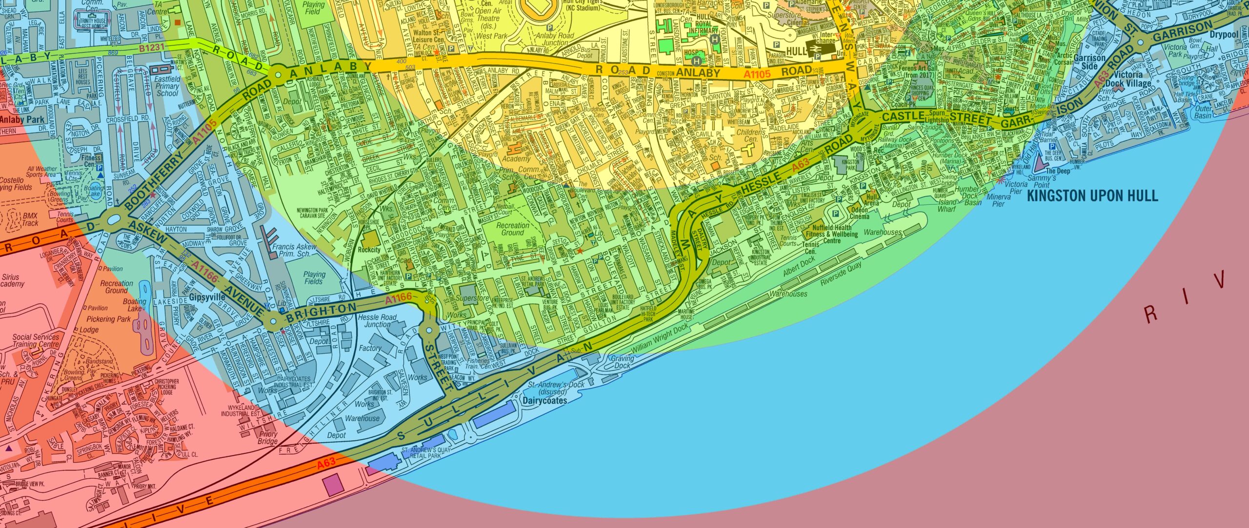
These can be colour graded and styled to match your business.
Whether you want them as a wallpaper for your branch or for print, we’ve got you covered.
We provide a range of customised mapping solutions to Fast Food & Delivery companies.
We have created maps for thousands of happy clients including Domino’s and Pizza Hut, alongside many smaller independent shops and companies. Most of the time, these have been used to aid central or store planning, or to allocate delivery bands to specific areas.
From building new homes to improving road and rail infrastructure, the Building & Construction sectors always have a need for clear and accurate mapping to maintain and expand their businesses.
Within the building sector we supply maps to builders merchants such as Selco, Howdens and Travis Perkins and they can manage their delivery zones by defining them on maps.
We have supplied many maps for Fire Stations, Police Forces, Local Government and other civil services to help them look after their local population.
For smaller local areas such as those covered by the Fire Service, A-Z Street mapping is imperative. A-Z mapping ensures that all street names are present and points of interest, such as schools, hospitals and stations, etc are, where possible, individually named.
With Health and Social Services, such as the Care Sector, being one of the world’s fastest-growing industries it is important that you can clearly see the territories within which you provide your services to your customers.
We can mark these territories out by clustering existing geographical boundaries such as NHS England Regions, the equivalent Health Boards or Trusts in the other UK countries, Local Authorities and many others.
Maps fulfil a dual purpose within the Educational Sector. They are used to control catchment areas and analyse pupil distribution geographically but they also help to highlight the school, college or university’s outreach programs around the world and celebrate diversity.
As well as printing maps ourselves we also supply a large range of map data to Printers and Resellers.
Some mapping data attracts print royalties on its usage, whereas some data is specifically royalty free. For data that does attract print royalties we will need to know how you are using it (e.g. printing to resell, internal business use, etc) and how many copies you are printing.
Maps can make a powerful visual statement in a home, as well as in a business environment.
Many personal customers are using maps as Art in the home, on the wall, on tables, printed on blinds, even as Acrylic panels in the kitchen or bathroom!
With the world growing ever more connected, people are exploring more and more of the world around them and creating new memories and it is therefore fitting to want to record their wanderlust by way of a personalised World map.


