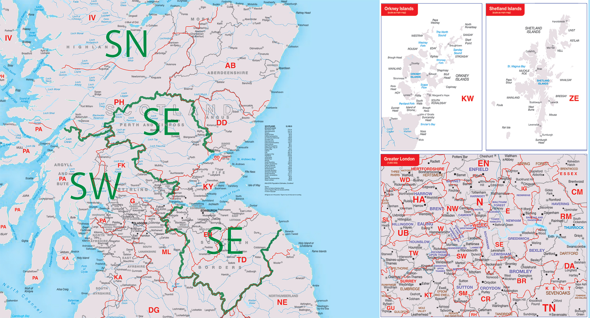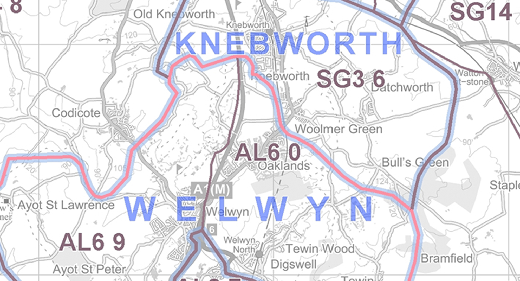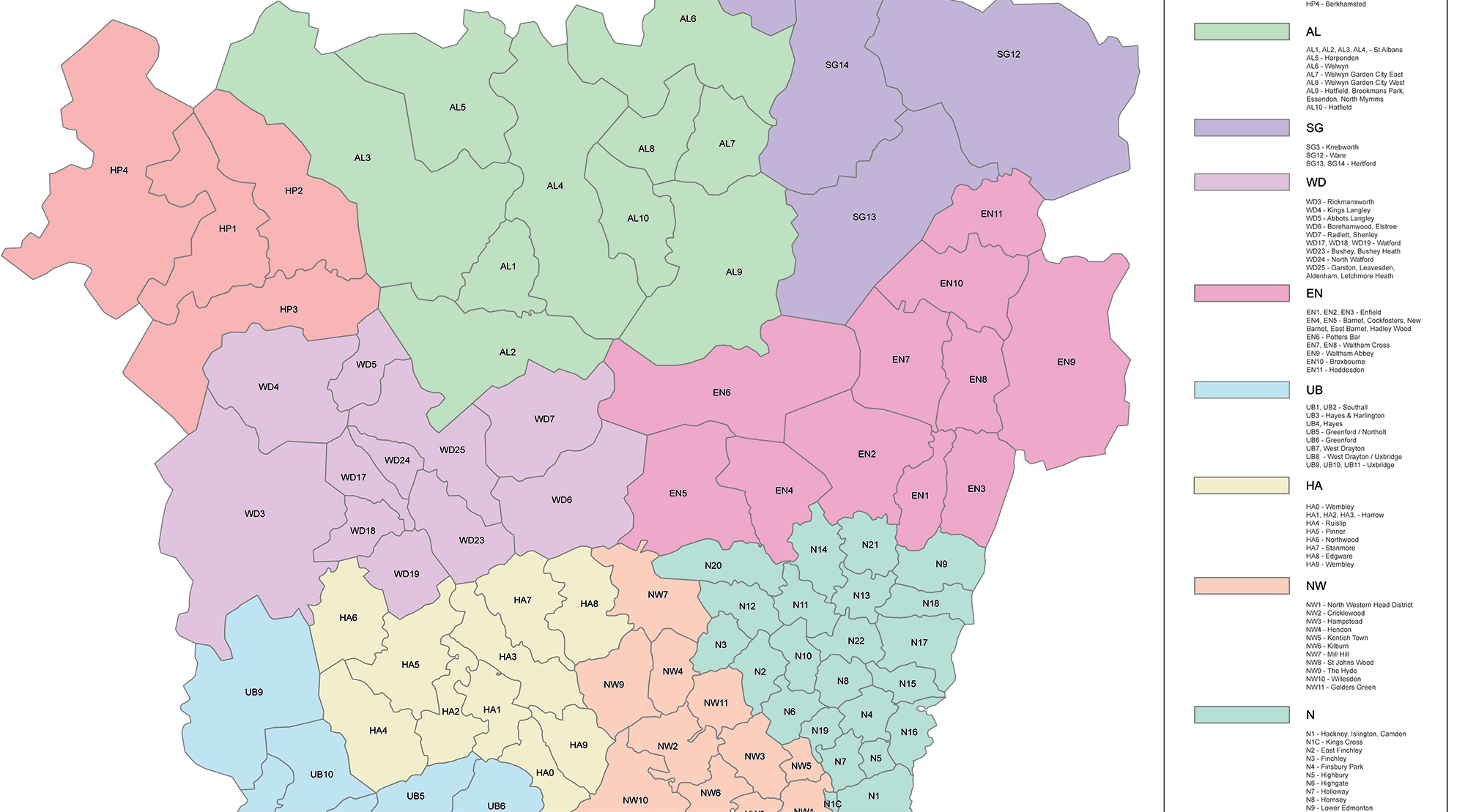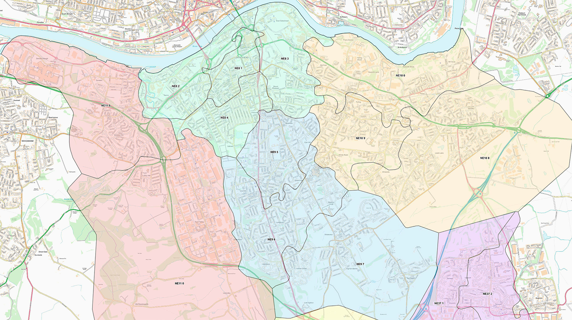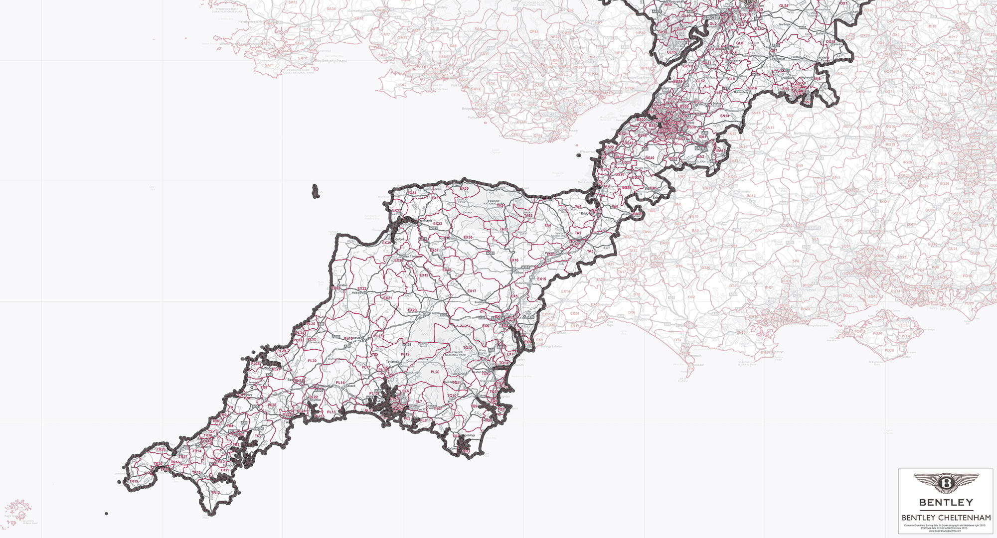
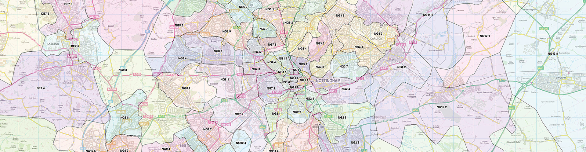
Postcode Maps
We hold mapping of Great Britain at a range of map scales, based on up-to-date Ordnance Survey data including Area (OX), District (OX1) or Sector (OX1 1) level postcodes.
We can supply Postcode Maps in either a digital or a printed format to help your business market, plan or visualise areas.
Digital
Examples of a digital format are PDF, TIFF, or AI file types. When supplied digitally this data can be used internally with simple image viewing software, can be used for printing, or can be imported into mapping software applications.
Printed
We can print Postcode Maps in a range of finishes.
We also provide an exciting range of Postcode wall maps of pre-defined areas on our sister site Maps International.