
Drivetime Maps
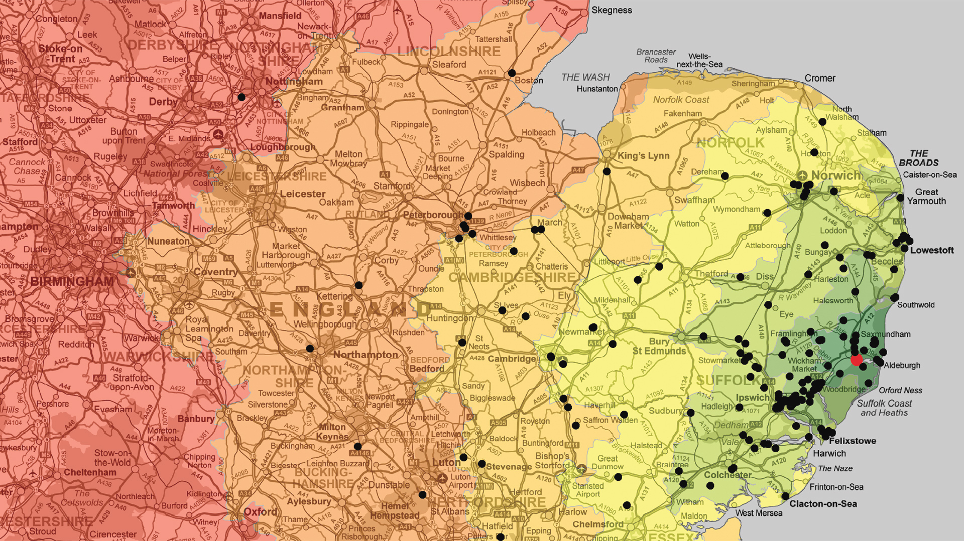
We are able to generate UK Drivetime Maps that clearly show the area that can be reached by car in a chosen number of minutes or hours. Starting with an initial geographic location such as a postcode, our GIS software enables complex calculations to produce road network drivetimes in all directions. The software takes into account the road type and speed to produce the results.
The drivetime catchment areas or isochrones can be queried against datasets such as population density which can be extremely useful to marketers dealing with issues such as:
- Relocation planning
- Marketing to a specific area
- Delivery pricing
- Distribution planning
- Franchise Areas
Drivetime Mapping Formats
Drivetime Maps can be supplied in a variety of formats. Typically Drivetime Maps are supplied digitally; however we are also able to print your Drivetime Map at any size, whether you require them for planning or for display on the wall.


What to Consider
We are here to help and can cater for almost any need, but before you call we would advise that you browse the site and consider
- – what you want your map to do;
- – is it for screen or print;
- – what size and finish should it be;
- – do you have any special requirements?