Emergency Services
Emergency Services always need to have clear and accurate mapping information to hand.
We have supplied many maps for Fire Stations, Police Forces, Local Government and other civil services to help them look after their local population.
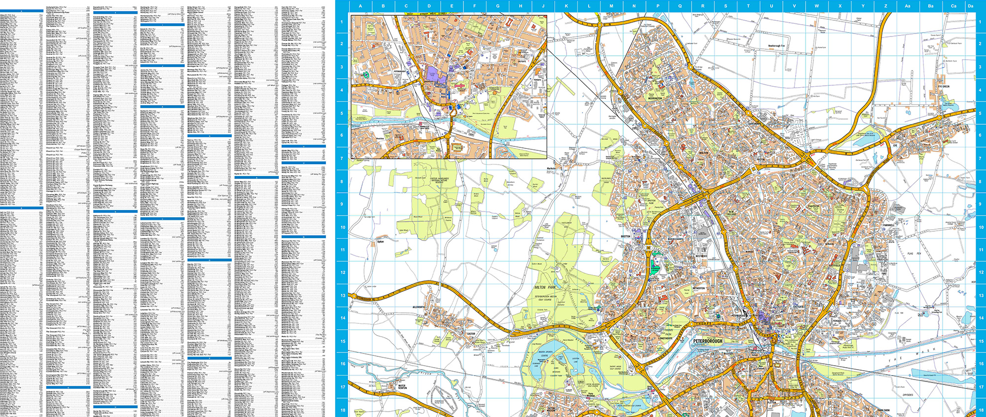
For smaller local areas such as those covered by the Fire Service, A-Z Street mapping is imperative. A-Z mapping ensures that all street names are present and points of interest, such as schools, hospitals and stations, etc are, where possible, individually named.
Street Indexes are often supplied along with the maps to help you find a specific location quickly and accurately.
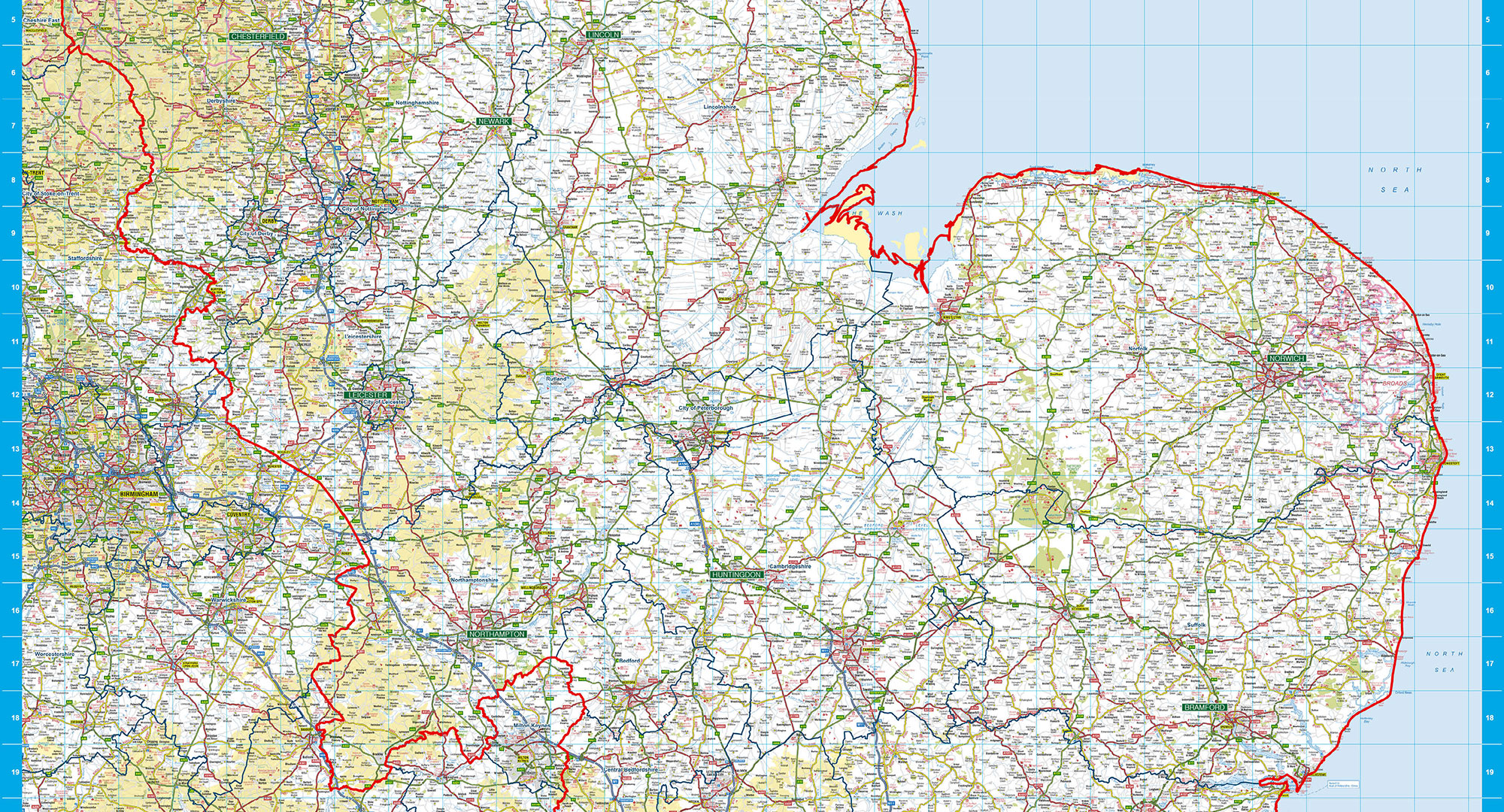
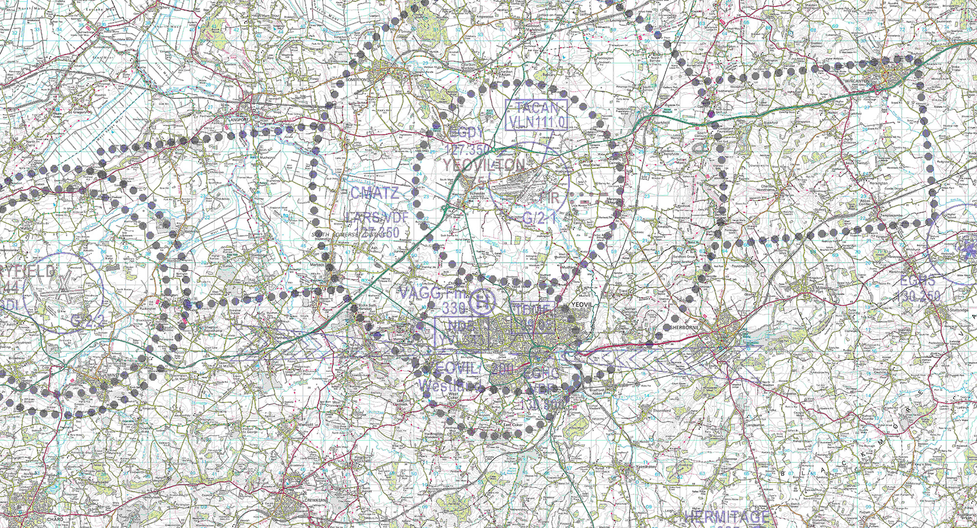
For larger geographical areas, Ordnance Survey Explorer and Landranger are popular and very detailed choices. We can add additional layers to the map such as contours or rivers to help with navigating the physical terrain of an area.
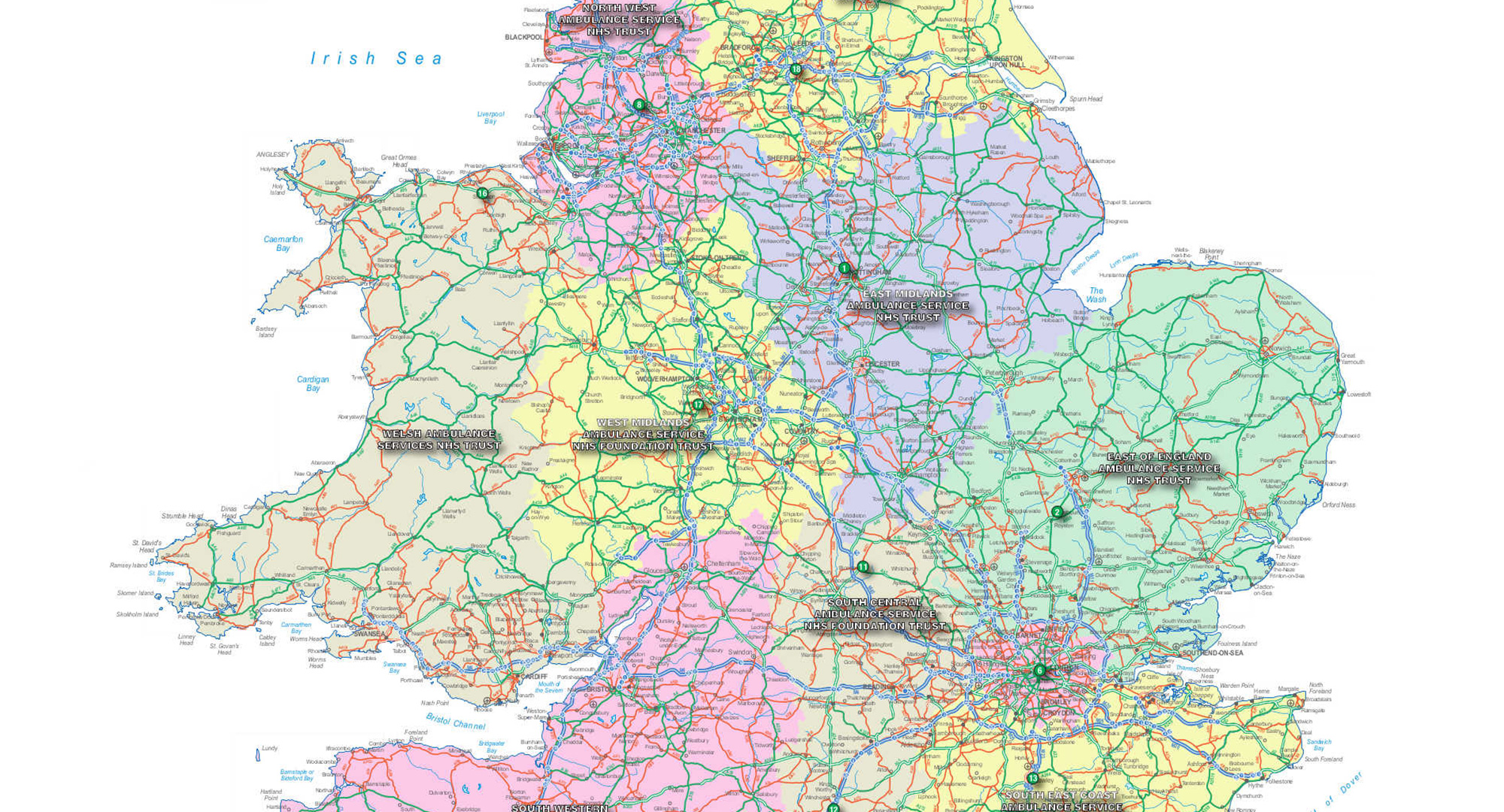
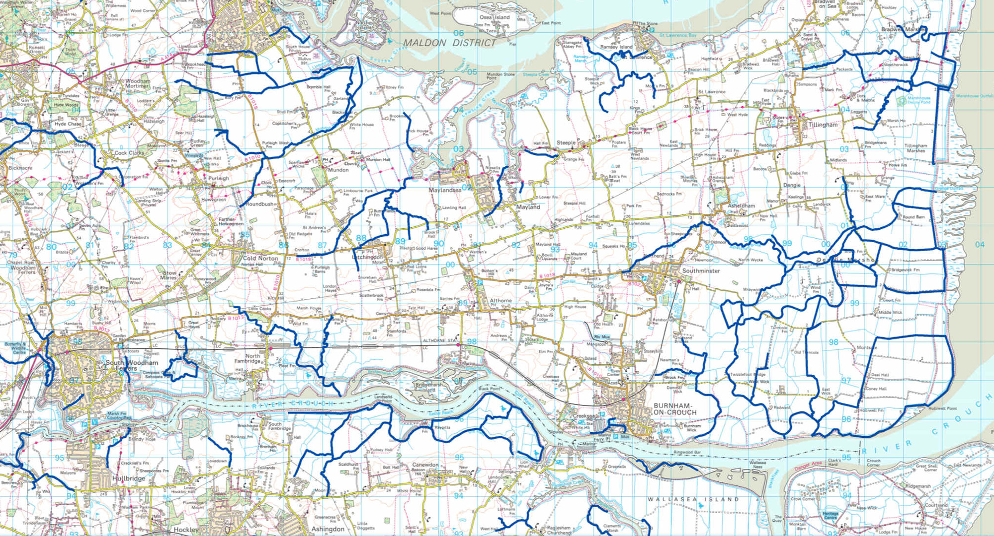
We have a host of geographical boundaries that we can add to the maps to help mark the extent of the area that you cover. These range from County & Local Authority boundaries to Postcodes and Fire & Police boundary lines. We can also custom make boundaries for you if your territory is unique to you.
We can also add Multiple locations to the map so you can show operational hubs clearly.
Maps for Emergency Services are often very large sizes and are usually supplied in Laminated, Laminated & Board Mounted or as Wallpaper finishes.
Maps arrived safe and sound and look splendid so thank you for your assistance. I have passed over your details to the Bluelight team as they were asking where they could get hold of maps
The maps have arrived, and they’re up and looking great. Thank you
What to Consider
We are here to help and can cater for almost any need, but before you call we would advise that you browse the site and consider
- – what you want your map to do;
- – is it for screen or print;
- – what size and finish should it be;
- – do you have any special requirements?

