Custom Wall Maps
Stunning cartography,
your choice
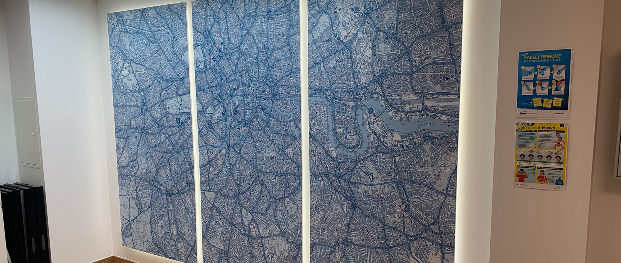
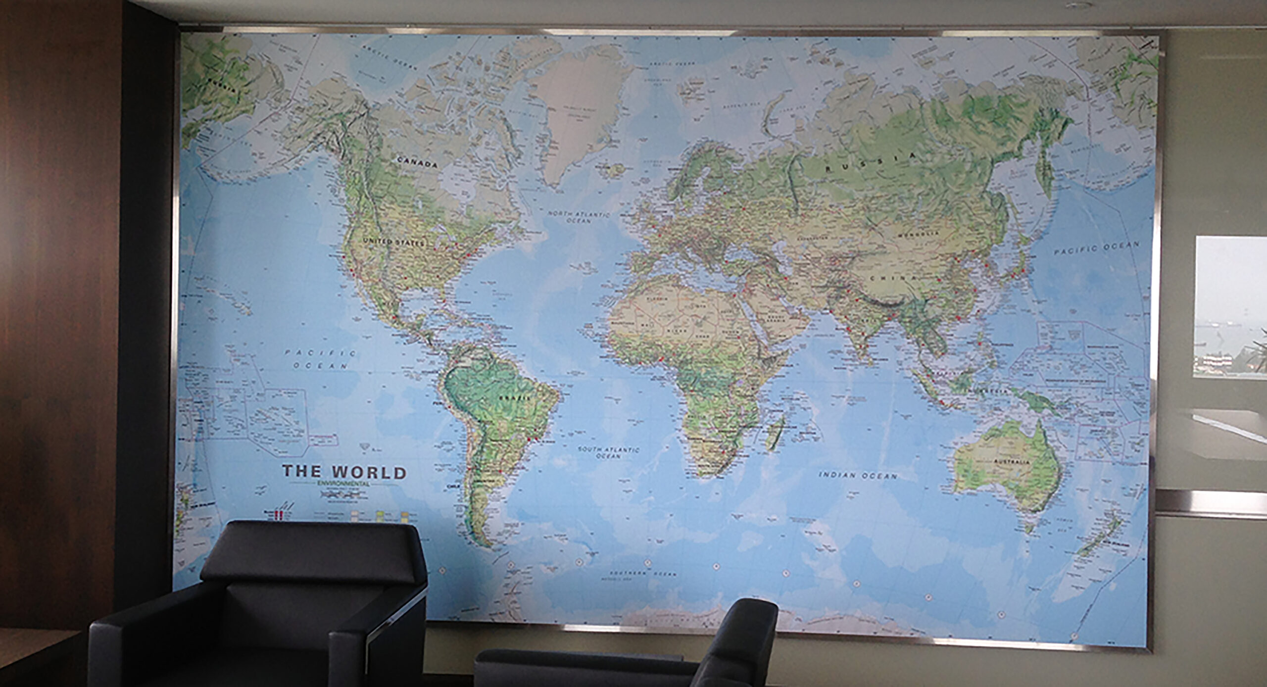
We can supply large scale customised maps based on up-to-date Ordnance Survey, A-Z or Philip’s mapping data. We can also make custom UK maps or even custom World maps.
Our custom maps can be tailored to your exact requirements where we can vary the size, colours, style, scale and finish of the map.
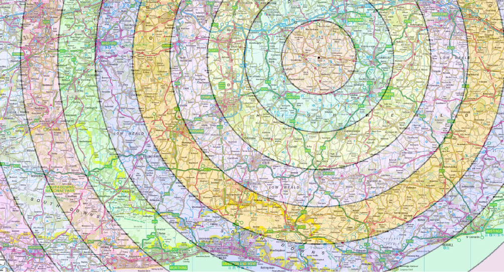
We can add extra information to the mapping such as Postcode boundaries, your Logo or Radial Distance Circles.

Corporate Recolouring
Bring a space to life with
corporate-coloured
mapping
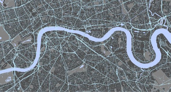
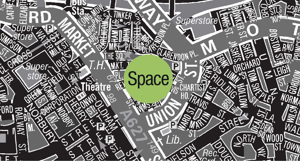
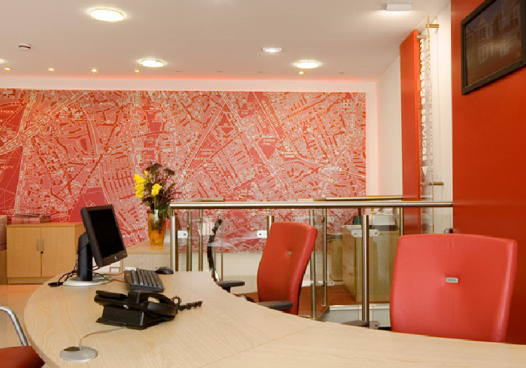
We can change the mapping colour to match your corporate identity.
We can recolour individual elements of the map using Full Vector Recolouring, recolour certain features using Raster Recolouring, add a single colour wash using Duotone Recolouring, or simply Greyscale the mapping or Invert the black and white colours.
Customisable Map Types
Clear visual planning in
digital or printed forms
What geographical area do you need your map to cover?
What scale of map data do you want to use?
What finish would you like it printed onto?
What size do you need it to be?
These are all customisable map options.
Customisation Methods
Make your map work
the way you want it to
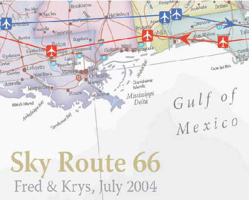
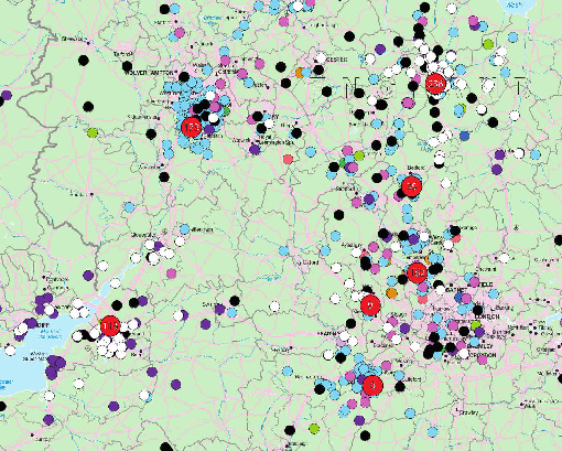
Customise your map to help show your territory, display your locations, work out delivery zones and much more.
- Boundary Maps
- Corporate Coloured Maps
- Inset Maps
- Maps with Logos
- Multiple location Maps
- Radius Maps
- Street Index Maps
Historical Maps
Mapping the past
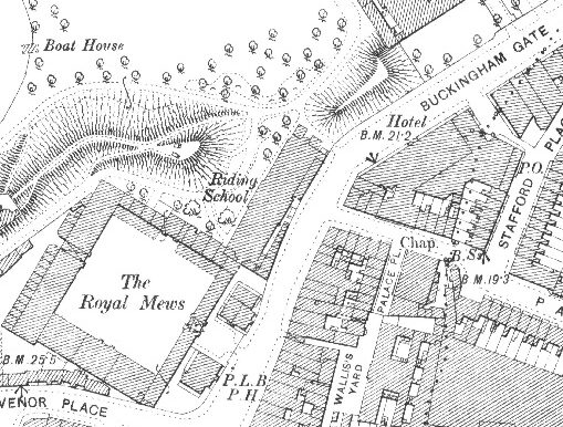
Whenever we supply maps for operational use it is imperative that they contain up to date data.
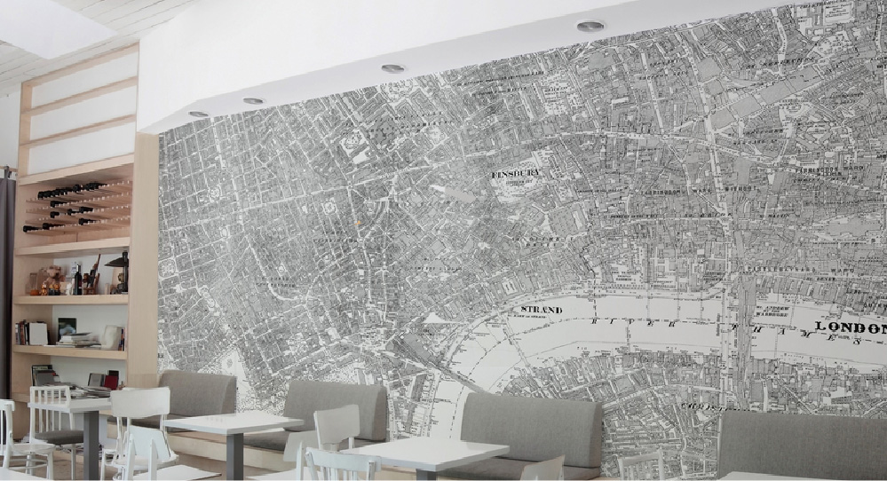
However, sometimes Historical data is required, either for researching a local or family history, or just have a decorative map to hang on the wall.
We can supply Historical mapping from the Ordnance Survey dating from the 19th Century through to the present day.
Postcode Maps
Postcode mapping
for every business need
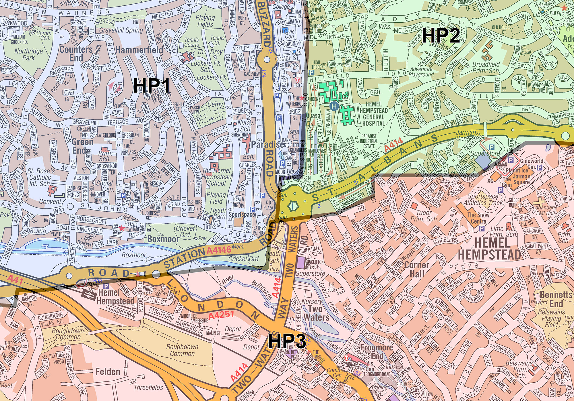
We hold mapping of Great Britain at a range of map scales based on up-to-date Ordnance Survey data including Area (OX), District (OX1) or Sector (OX1 1) level postcodes.
We can supply this postcode mapping in either a digital or a printed format to help your business market, plan or visualise areas.
What to Consider
We are here to help and can cater for almost any need, but before you call we would advise that you browse the site and consider
- – what you want your map to do;
- – is it for screen or print;
- – what size and finish should it be;
- – do you have any special requirements?
