
Franchise Territory Maps
Having well designed territories is critical to your Franchise growth plans.
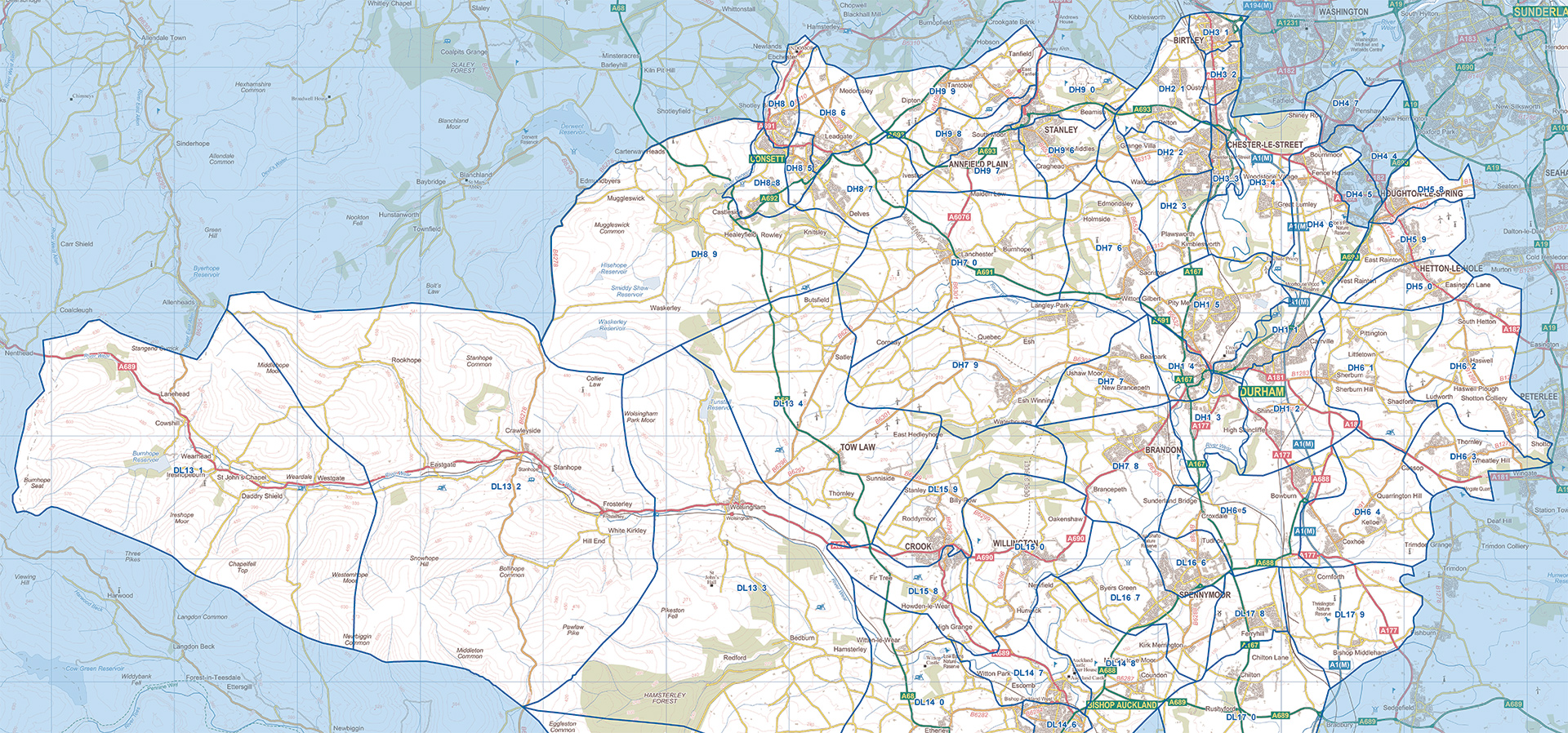
For Franchises, the creation of territory mapping is generally a one-off requirement at the starting point of your franchising process; perhaps the creation of a first single territory as a proof of concept, or the creation of all territories across the country.
For Franchise businesses we have some existing territory mapping models available:
- Great Britain divided into territories by postcode sectors, based on populations of 100,000 – £1000 + VAT
- Great Britain divided into territories by postcode districts, based on populations of 200,000 – £750 + VAT
- Great Britain divided into territories by postcode districts, based on populations of 400,000 – £600 + VAT
- Great Britain divided into territories by postcode districts, based on populations of 1,000,000 – £500 + VAT
These packages consist of:
- A library of individual PDF maps showing each Franchise area in detail.
- An overview map displaying the whole of Great Britain with each franchise boundary marked.
- Accompanying tabular data giving population for each Franchise area.
- Further demographic data related to each franchise area can be delivered as an additional extra. For example, view population of children by franchise area, or car ownership.
Alternatively, for those with more detailed franchise models, Custom Franchise Territories can be created to your specification from £1,500 + VAT.
A Custom Franchise Territories Package consists of:
- An initial consultation to understand your franchise model and collaborate on the best structure for your franchise creations.
- We will assess the demographic data available through the Census 2019 or other to get best fit to your franchise model.
- Processing of the related geographical data to create your franchise territory areas.
- A library of individual PDF maps showing each Franchise area in detail.
- An overview map displaying the whole of Great Britain with each franchise boundary marked.
- Worldwide franchise models are supported within our Custom Territories Package.
- Accompanying tabular data giving population for each Franchise area.
- Further related demographic data related to each franchise area will be delivered. For example, view health data by franchise area, or social grade.


What to Consider
We are here to help and can cater for almost any need, but before you call we would advise that you browse the site and consider
- – what you want your map to do;
- – is it for screen or print;
- – what size and finish should it be;
- – do you have any special requirements?